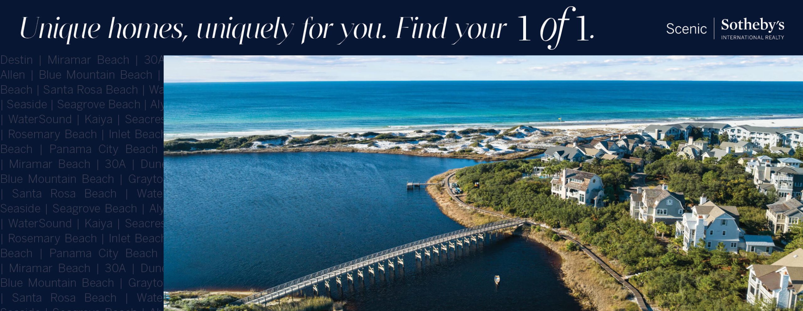


This is a map of our little beach community. Old Florida “State Road 30” once started at the Alabama state line and meandered 283 miles east across the panhandle. Several “alternate routes” (hence the “A” in 30A) offered drivers a slower scenic option, usually along the beach. But we don’t think of 30A as disjointed miles of soulless asphalt. 30A® is a celebration of small town beach life – the kind that’s been enjoyed by families for decades all along the Gulf Coast. 30A isn’t just a line on the map. It’s a lifestyle; an attitude. It’s that happy place we all dream of when we need to unwind, unplug and celebrate life. Learn more here.