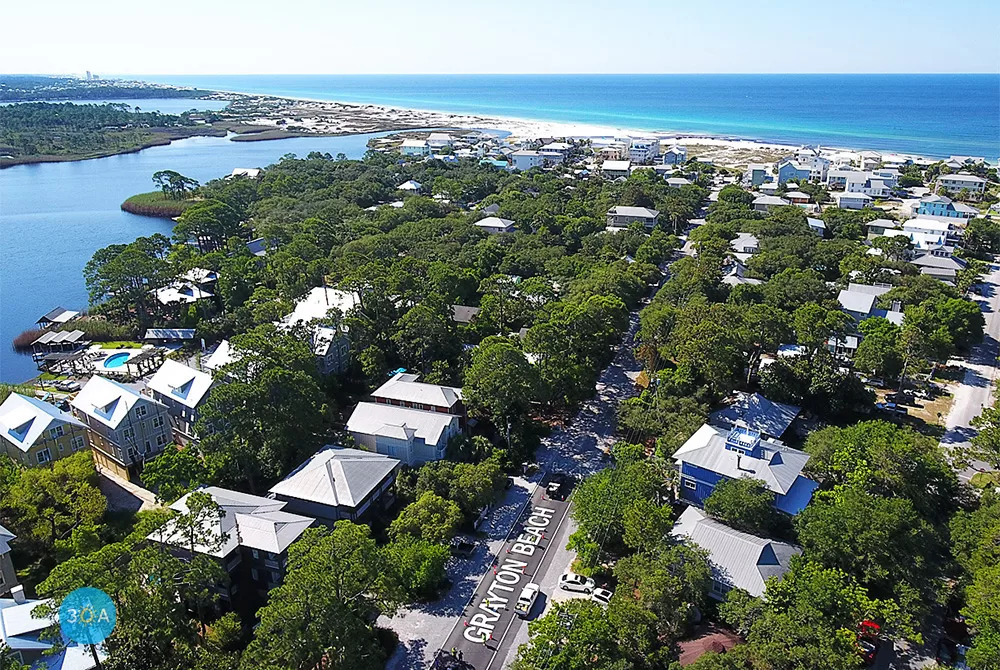
The visual air navigation signage that once marked Grayton Beach for pilots has been restored on Defuniak Street in Grayton Beach, Florida after decades.
Residents and supporters have worked for many years to have the sign, which dates back to World War II, restored after it was paved over. In 2018, the Walton County Board of County Commissioners unanimously agreed to allow the Grayton Beach Neighborhood Association to repaint the Grayton Beach air navigation marker that was originally located on DeFuniak Street.
It was officially replaced and restored on June 14, 2019 by county workers to the delight and celebration of long-time residents, business owners and visitors alike.
The original marker was lost when the road was repaved years ago. According to Coastal Heritage Society, the marker was one of many similar markers that were painted on road surfaces and rooftops throughout the United States.
The markers provided daytime visual air navigation fix to World War II pilots flying directly overhead. In the Grayton Beach marker, the arrow to the left of the “G” pointed to the magnetic north, while the circle and arrow to the right pointed to 145 degrees (southeast) and the number 30 indicates another similar fix 30 nautical miles on a course of 145 degrees.
30A ????️ ???? Grayton Beach, Florida
BEACH HAPPY ????️ ???? ️visits Grayton Beach, Florida.
Presented by: Grady-White Boats | MarineMax Panama City Beach | MarineMax Fort Walton Beach | MarineMax Pensacola
Posted by 30A on Friday, 30 October 2020


